
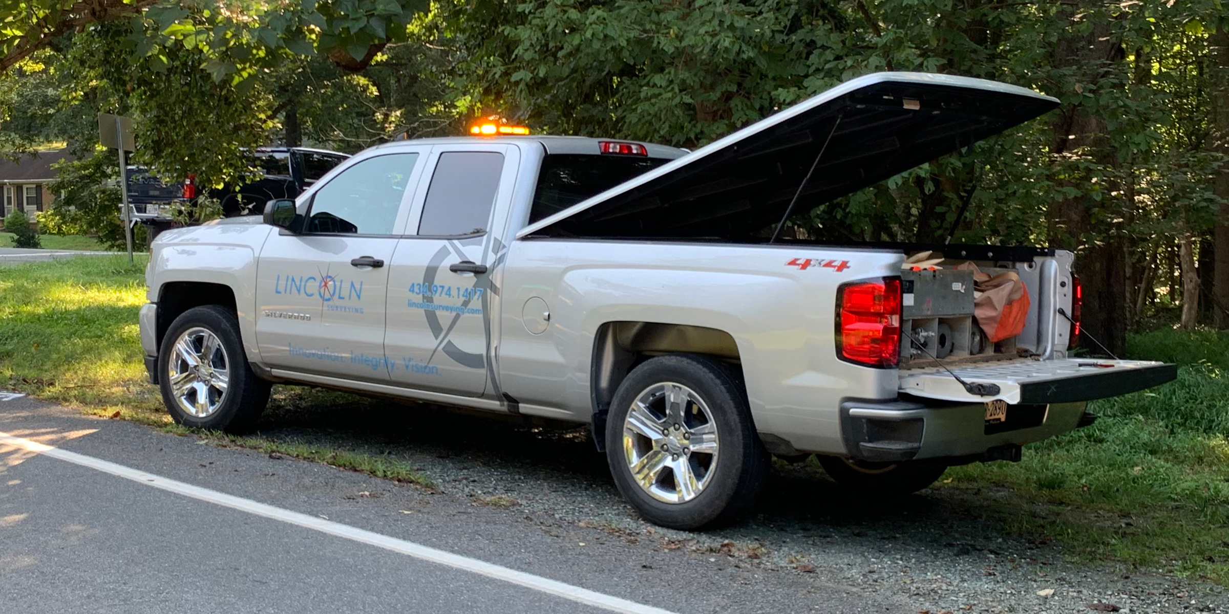
Lincoln Surveying is driven to be the Land Surveying and Aerial Mapping firm of choice in Virginia.
Our professional and technical staff is built on the core values of Innovation, Integrity and Vision. That means your project from start to finish will get the expertise that it deserves under the watchful eye of experienced personnel using the latest technology. At Lincoln Surveying we take pride in our service to you, the client.
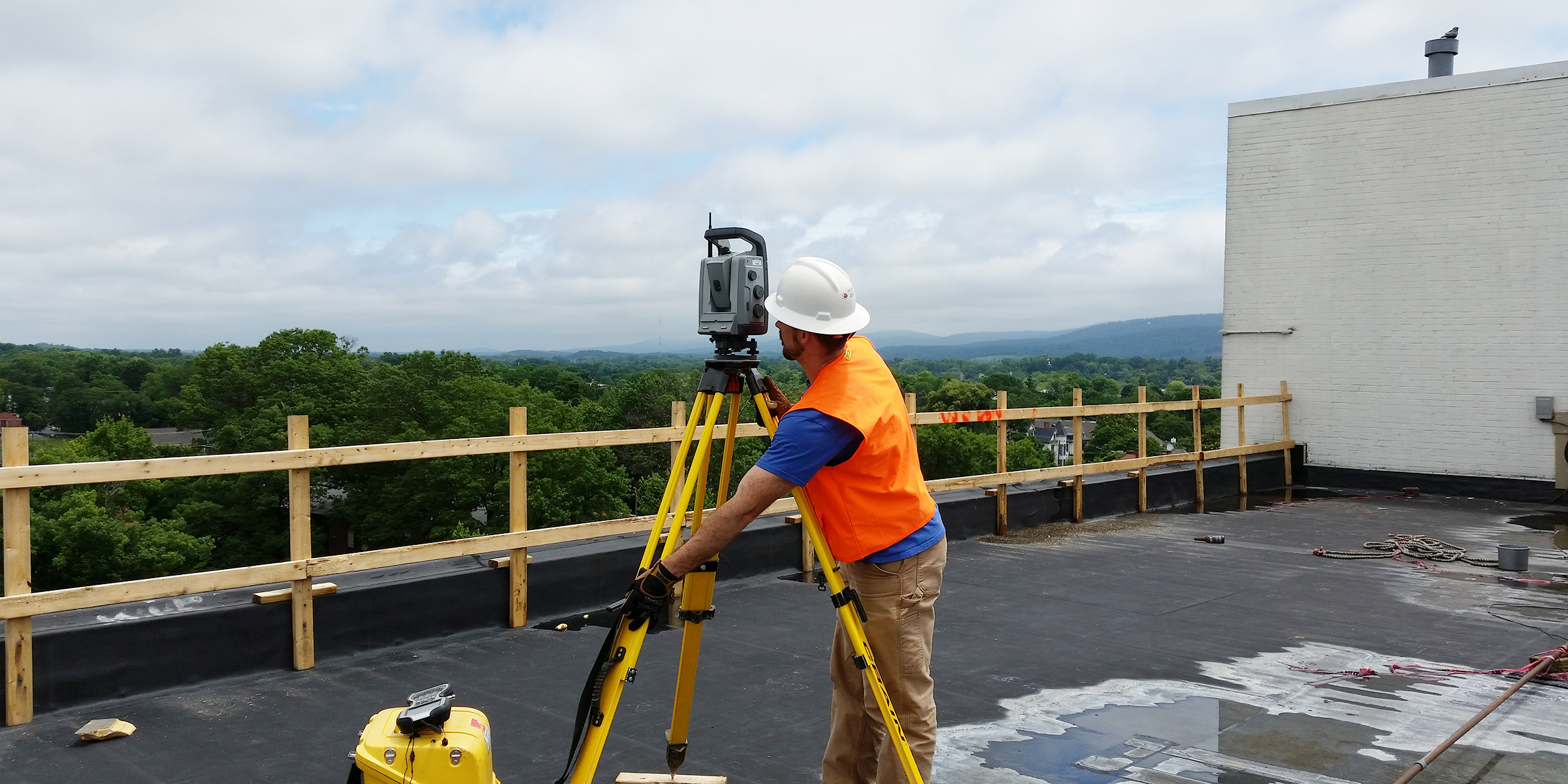
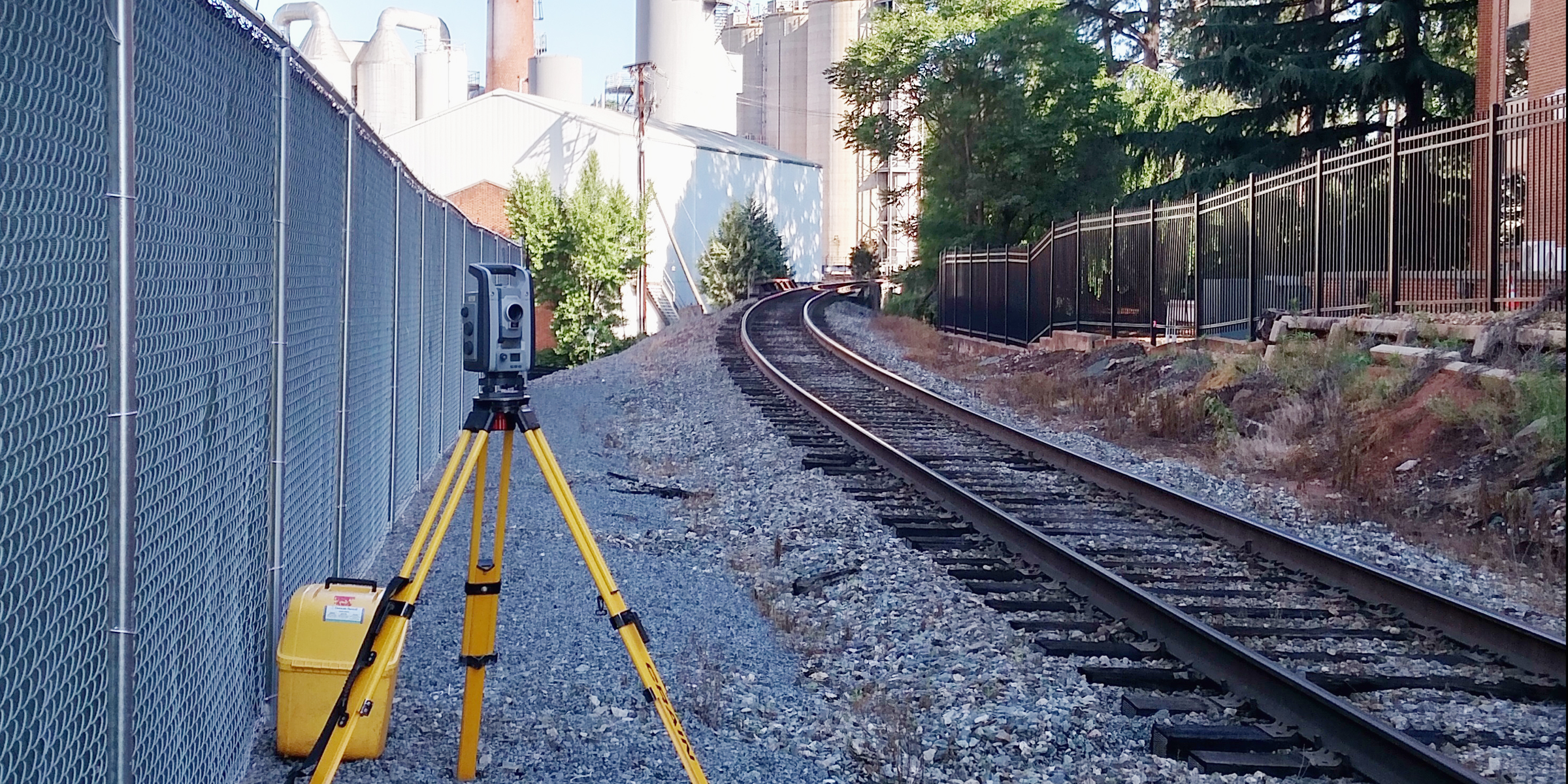
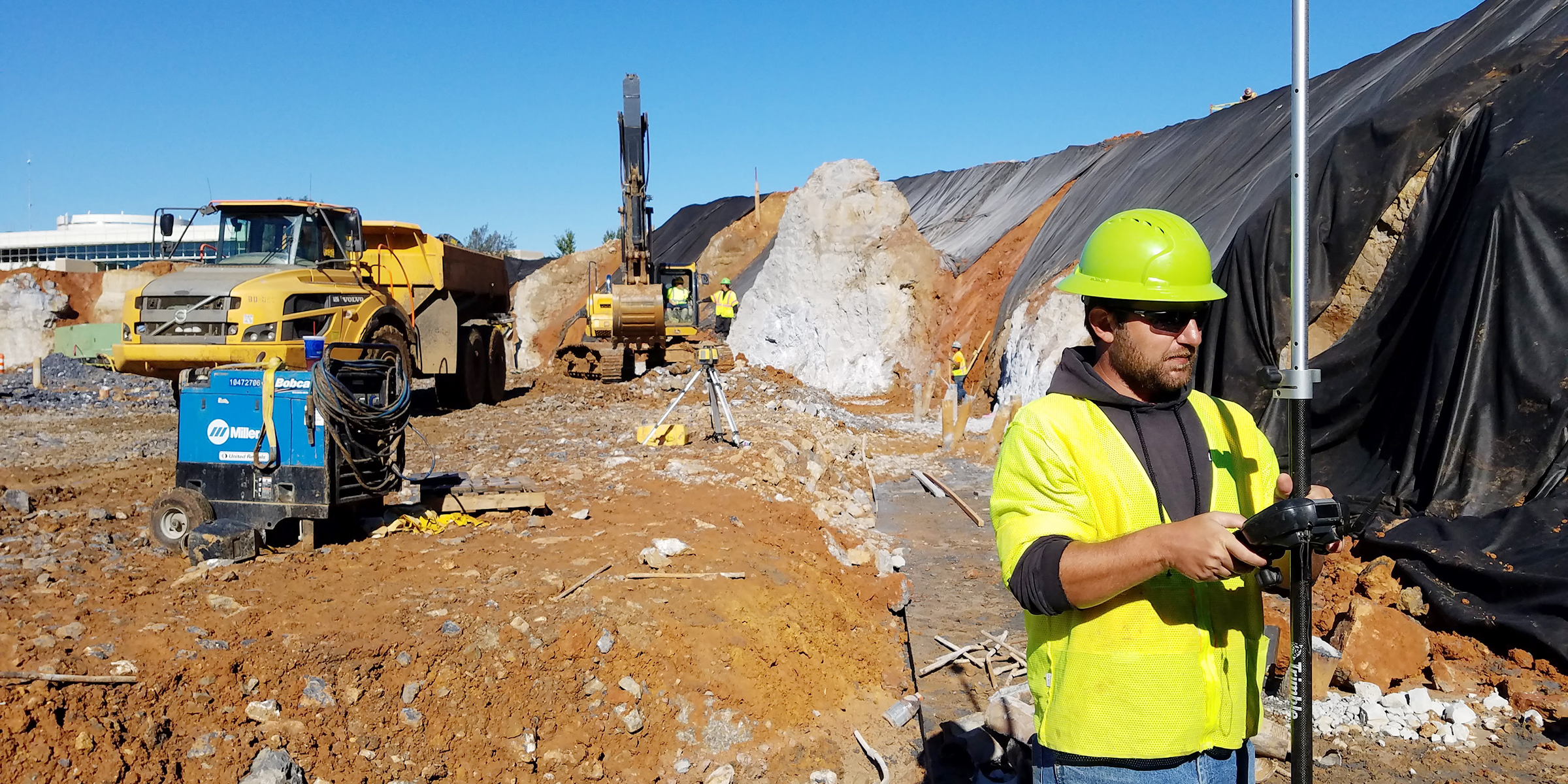
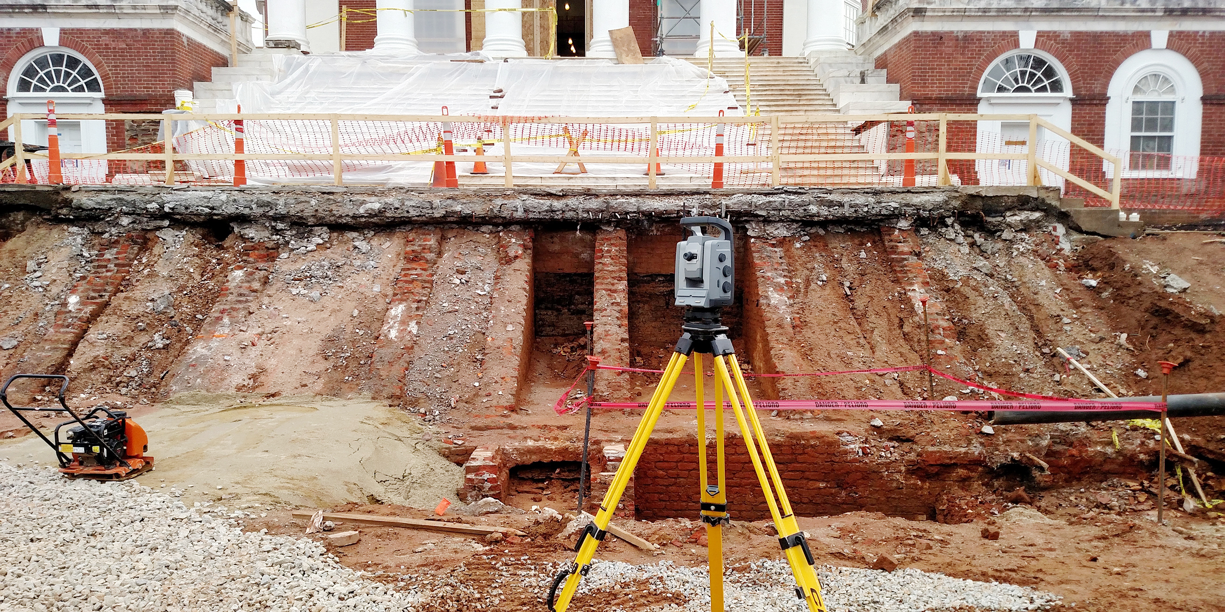
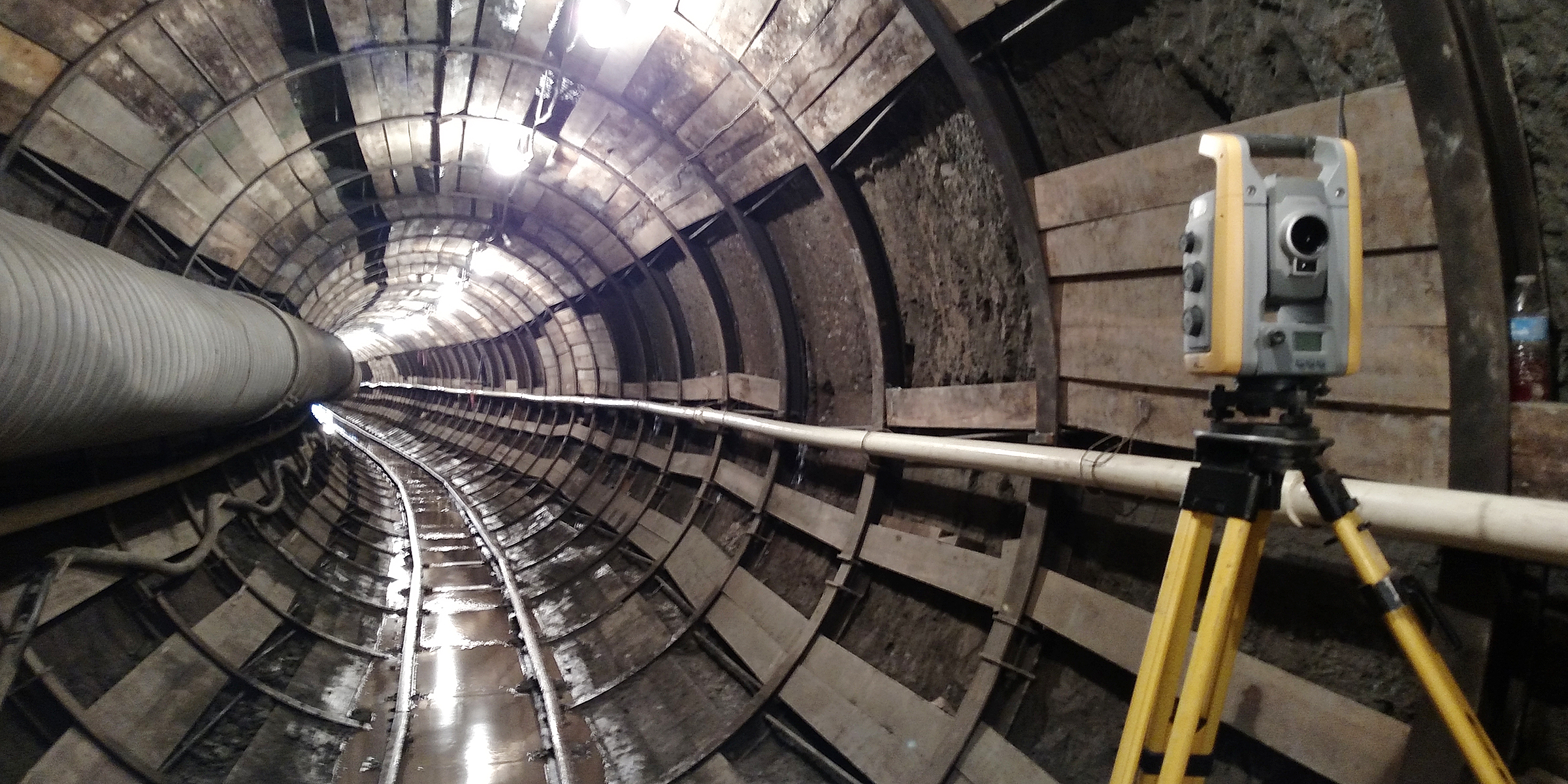
Land Surveying
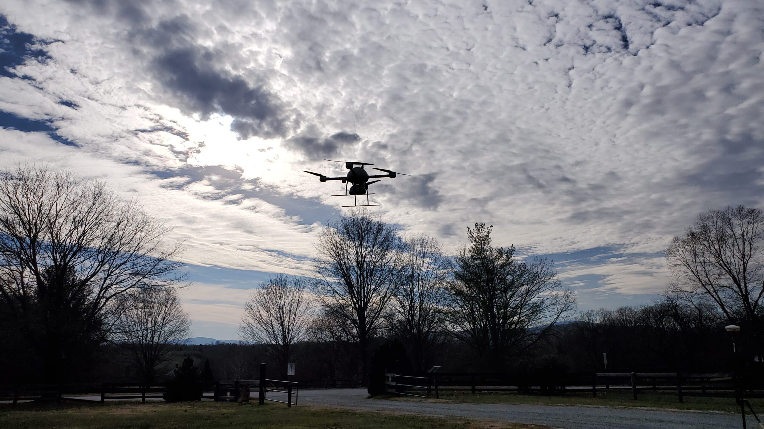
Aerial Mapping